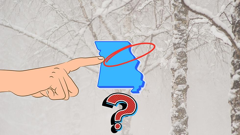
Wild Uncertainty for Northeast Missouri Tuesday Snow Storm Totals
It's always good to pay attention when a winter storm is about to trek through Missouri. It might be more important than ever for the northeastern part of the state where there is wild uncertainty about how much snow will fall and where according to meteorologists.

I warned everyone a week ago about many computer models showing the potential for "tons of snow" throughout Missouri and parts of Illinois. The storm system I have been watching is almost here. The National Weather Service in St. Louis just shared a graphic showing how uncertain they are about exactly how much snow Missouri will get.
If you're having a hard time seeing their Facebook post, here's the graphic.

Notice on that map that towns in northeast Missouri and west-central Illinois that are relatively close together have big time different estimates.
Why is this storm so difficult to forecast for Missouri now that it's closer?
There is a big question mark about when the precipitation will transition from rain to snow and that will drastically affect snow totals by the time Tuesday night arrives. There is still the wild card of whether this storm will take more of a northerly or southerly track. The northerly track will mean less snow for southern parts of Missouri while the southerly will mean it will almost all be snow.
WATCH THIS STORM CLOSELY
Here's what I'm doing. I'm planning for travel disruptions all day Tuesday and maybe even Wednesday. If it doesn't happen, awesome. But, I'm mentally and practically planning for the worst. That's what the National Weather Service advises, too (sort of). They say "Plan. Prepare. Act". Do that and you'll be ready for whatever this incoming storm will drop on us.
Oh, and watch next weekend, too.
Top 20 Missouri Places That Get the Most Snow Every Year
Gallery Credit: Canva
More From KHMO-AM 1070, News-Talk-Sports


