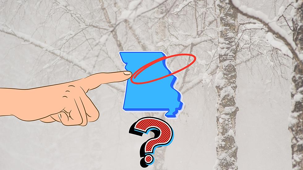
The National Weather Service is warning that even though we haven't had much snow so far this winter, the recipe is right for Missouri and Illinois to both see snowfall and possibly soon.
It wasn't the largest and didn't do the most damage, but there was a northeast Missouri tornado in 1977 that could easily qualify as one of the strangest the area has ever seen.
It may or may not amount to much, but there's a better than average chance that the Hannibal and Quincy area will see its first measurable snowfall of the season over the next couple days.
This is one of those predictions I really hope is wrong since I'm not a fan of snow. The Climate Prediction Center is calling for a very wet winter right now for the tri-state area and specifically in Missouri and Illinois.
It's been 11 years now, but it still seems like yesterday. It was the afternoon of May 22, 2011 when a monster EF5 tornado cut a tragic swath through Joplin, Missouri and there are many that will never forget that day.
It's not exactly breaking news that it's hot this week. However, according to the National Weather Service, we'll see heat unlike anything we've ever seen during this part of May.
If you're a fan of lots and lots of snow, I hope you're satisfied. The National Weather Service has now issued Winter Storm Warnings for most of northeast Missouri and western Illinois from Tuesday evening until Thursday evening.
If you'll remember when we visited with the editor of the Old Farmers' Almanac a while back, she told us the winter of 2023 would be a Season of Shivers.