Dare to Explore the “Devil’s Well” in the Missouri Ozarks
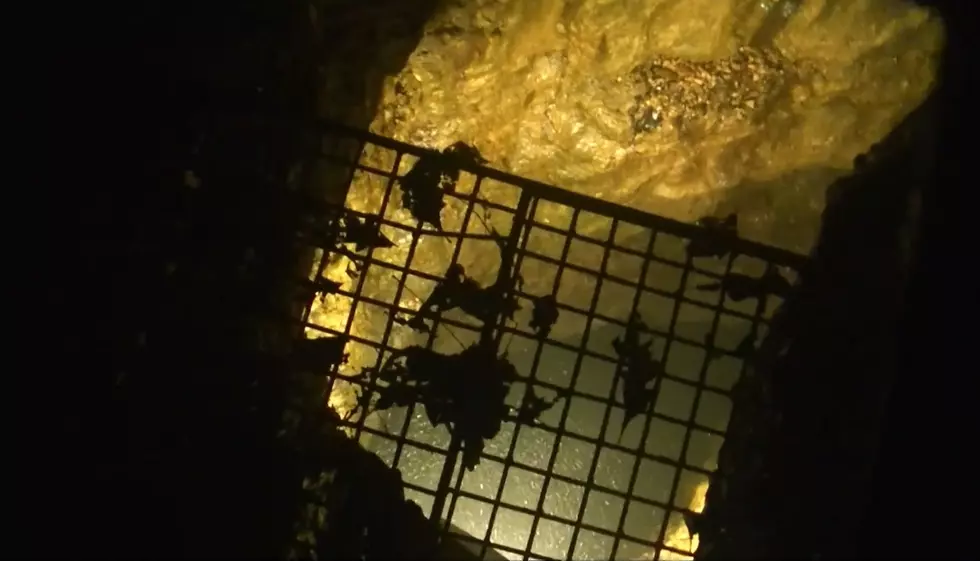
Despite the name, this isn't scary at all. Many have dared to explore "The Devil's Well" in the Missouri Ozarks. It's a unique window into what has been described as "the Earth's plumbing" underground.

What is The Devil's Well?
As the National Park Service describes it, the Devil's Well "was formed when the roof of a huge cavern, containing an underground lake, collapsed. The result was large sinkhole, with an opening in the bottom through which you can view the lake."
You can see this unique underground part of Missouri thanks to a brand new video share showing what lies underground.
How big and deep is The Devil's Well?
The National Park Service says the water lies around 100 feet below the platform they were standing on and the lake below may be 80 feet deep.
It's worth noting that there's a scenic hike in this area, too. The National Park Service describes it like this:
A 4.6 mile footrail leads from Devils Well to Cave Spring on the Current River. Water from Devils Well has been traced to the outlet of Cave Spring.
They describe it as a somewhat challenging walk, so it's not for the faint of heart - literally. To directly access The Devil's Well is practically no walk at all as the videos above show. It's a spiral staircase down and that's it.
The Devil's Well is about a 4 hour drive from Hannibal located south of Salem, Missouri to the southeast of Fort Leonard Wood. Don't let the name fool you. There's no real terror here. Just a window into the unique geology that makes Missouri so unique.
Secluded Illinois Cabin on the Trail of Tears in Shawnee Forest
See Inside a Hannibal Farmhouse with a Pool and Antique Barn
More From KHMO-AM 1070, News-Talk-Sports


