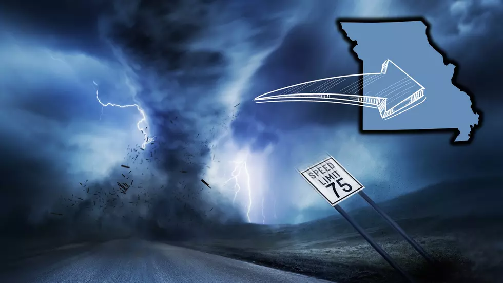
Danger – NWS Says Missouri Has Risk of Strong Tornadoes Wednesday
It's already been a volatile weather week and it isn't over yet. Now, the National Weather Service in Saint Louis is saying that many parts of Missouri are at risk of seeing what they term as 'strong tornadoes' Wednesday.
Missouri has a tornado tear through Sullivan early Tuesday morning leveling buildings and the forecast for Wednesday in the state looks potentially worse. The National Weather Service out of Saint Louis just shared this graphic explaining what is expected to impact Missouri Wednesday throughout the day.

The expectation is that Wednesday afternoon and evening, a front will make its way across Missouri bringing with it a big risk for severe thunderstorm development. According to what they've shared so far, it appears the biggest risk will be the part of Missouri south of interstate 70. Some severe storms could develop as early as Wednesday morning.
There are three dangers to watch out for in these storms:
- Strong tornadoes
- Large (possibly even baseball-sized) hail
- Very strong wind gusts upward of 70 mph
Here's one other factor to consider. It would be a good thing if Missouri sees storms in the morning as that might limit some of the more severe development later in the day. The key word is "might".
Be especially alert concerning potential severe weather warnings in Missouri on Wednesday especially if you live in the southern half of the state. What has been a violent weather week could become even more troublesome.
10 Missouri Towns Most Likely to Get Hit by a Tornado
Gallery Credit: Canva
More From KHMO-AM 1070, News-Talk-Sports


