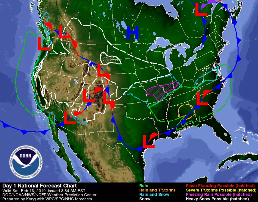
Winter Weather Advisories Posted for Snow, Freezing Rain
There's more winter weather on the way to northeast Missouri and western Illinois Saturday night and Sunday.
The National Weather Service has posted Winter Weather Advisories for the area for some combination of snow and freezing rain from Saturday evening through midday Sunday.
Here's the breakdown from the National Weather Service:
Adams IL-Brown IL-Pike IL-Knox MO-Lewis MO-Marion MO-Shelby MO
...WINTER WEATHER ADVISORY IN EFFECT FROM 6 PM THIS EVENING TO NOON CST SUNDAY...
* WHAT...Snow and freezing drizzle expected. Total snow
accumulations of up to two inches and ice accumulations of a
light glaze expected.
* WHERE...Portions of northeast Missouri and west central
Illinois.
* WHEN...From 6 PM this evening to noon CST Sunday.
* ADDITIONAL DETAILS...Plan on slippery road conditions.
Audrain MO-Lincoln MO-Monroe MO-Pike MO-Ralls MO
...WINTER WEATHER ADVISORY IN EFFECT FROM 6 PM THIS EVENING TO 6 AM CST SUNDAY...
* WHAT...Snow and freezing drizzle expected. Total snow
accumulations of up to one inch and ice accumulations of a light
glaze expected.
* WHERE...Portions of central, east central, northeast and
southeast Missouri and south central and southwest Illinois.
* WHEN...From 6 PM this evening to 6 AM CST Sunday.
* ADDITIONAL DETAILS...Plan on slippery road conditions.
Hancock IL-Scotland MO-Clark-MO
...WINTER WEATHER ADVISORY IN EFFECT FROM 9 PM THIS EVENING TO NOON CST SUNDAY...
* WHAT...Snow expected. Total snow accumulations of 1 to 3
inches expected.
* WHERE...In Missouri, Scotland and Clark Counties. In Illinois,
Hancock and McDonough Counties.
* WHEN...From 9 PM this evening to noon CST Sunday.
* ADDITIONAL DETAILS...Plan on slippery road conditions and
reduced visibilities.
More From KHMO-AM 1070, News-Talk-Sports