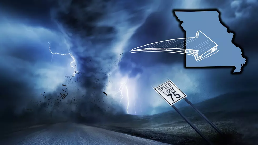
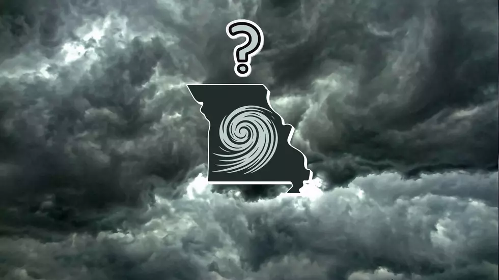
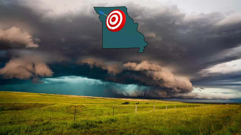
The good news is it will not affect most of the state, but there will be parts of Illinois where traveling could become a challenge due to expected wind-whipped snow beginning later Thursday.
Weather is likely to be exciting for most of Missouri midweek as the state is right in the middle of the danger zone for severe storm development which is expected to include up to 60 MPH wind gusts and hail Wednesday.
Thanks to new movies, tornadoes are a fashionable topic these days which makes a new video share from Barnhart, Missouri even more fun. It's a massive dust devil that nearly dropped on top of someone with their phone camera rolling.
It looks like the weather pattern over Illinois is about to get excitable again. A new forecast says the incoming heat dome which will cause temperatures to spike into the 90's is expected to ignite a storm pattern that could even include derechos in parts of the Land of Lincoln.
This proves that I pay attention to Missouri meteorologists more than they likely think. I saw a discussion among forecasters where the mention of unstable air over the state late Friday could mean some suddenly violent weather results. The problem is with the uncertainty of some key variables.
It's no secret that wind and hail were a big part of the waves of thunderstorms that roared through Missouri Tuesday night into Wednesday morning. One weather station in the state confirmed that winds exceeded hurricane force on at least one occasion.
Since this is Missouri weather we're talking about, everything is changeable. However, you need to know that it's entirely possible and perhaps even likely that much of Missouri could be impacted by a major widespread wind damage event overnight from Tuesday into Wednesday morning.