Why Did Missouri National Guard Just Hold New Madrid Quake Drill?
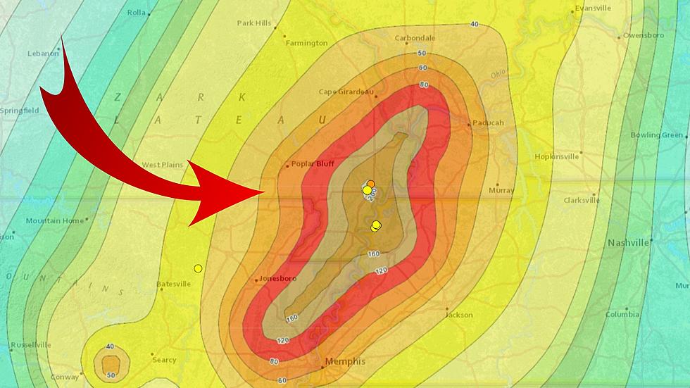
If you happened to be in the St. Louis, Missouri area earlier this week, you might have seen National Guard troops on the streets and wondered what was going on. No reason for alarm as there's a very good reason why those troops had smashed vehicles and emergency tents set up. They were practicing for a massive New Madrid earthquake. Wait. What?


