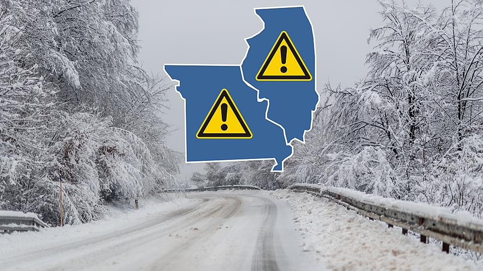
Look Out – Travel Friday Could Be Trouble in Missouri & Illinois
Plan on Friday morning travel being treacherous in many parts of Missouri and Illinois as an incoming winter storm appears likely to cause trouble for those on the road.

I've been watching an incoming weather system for the past few days and frankly it didn't look like it was going to be much of a problem up until today. Now, the National Weather Service is warning that the system looks like it might be shifting more toward the north which will mean higher snow totals than before. The timing will also not be ideal for the Friday morning commute.

The expectations now include snowfall to start overnight with the highest snow totals to begin impacting right in the middle of the Friday morning commute between 6am and noon.
The good news is that the ground is still warm from our recent mild temperatures, so there's uncertainty about how much snow will actually stick to roads or how fast it will accumulate.
Here's the exact wording from the National Weather Service Winter Weather Advisory out of St. Louis:
...WINTER WEATHER ADVISORY IN EFFECT FROM 3 AM TO 3 PM CST FRIDAY...
* WHAT...Snow expected. Total snow accumulations between 1 and 3
inches.
* WHERE...Portions of south central, southwest, and west central
Illinois and central and northeast Missouri.
* WHEN...From 3 AM to 3 PM CST Friday.
* IMPACTS...Plan on slippery road conditions. The hazardous
conditions could impact the Friday morning commute.
The bottom line is plan now for the Friday commute to be less than ideal and it could end up being a situation where you should consider delaying your drive if that's possible. It's more proof that winter isn't quite done with Missouri and Illinois yet.
Top 20 Missouri Places That Get the Most Snow Every Year
Gallery Credit: Canva
More From KHMO-AM 1070, News-Talk-Sports


