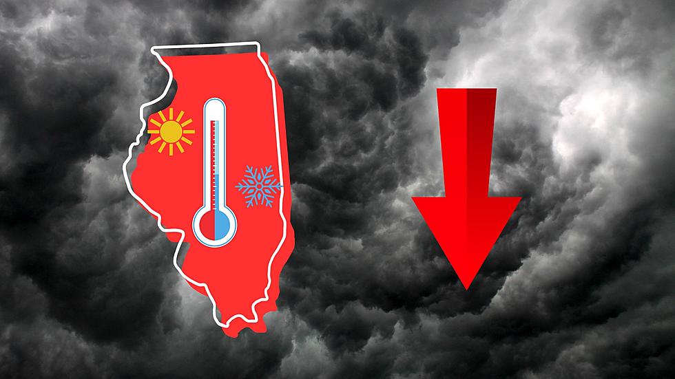
Fast-Moving Storm to Drop Illinois Temps 50 Degrees in Only Hours
You can expect a radical change in the weather in Illinois near the start of the week as a fast-moving storm system will cause temperatures in the state to plummet 50 degrees (or more) in only hours.

The National Weather Service warned that a storm front moving through Missouri would cause a collapse in temperatures and now that applies to Illinois also. This is what the NWS forecast office out of St. Louis says that Quincy, Illinois can expect starting Tuesday afternoon continuing into Tuesday night.
Daytime highs with sunshine in Quincy on Tuesday expected to reach up to 78 before the fast-moving storm system changes that drastically. By the time Tuesday night becomes Wednesday morning in Illinois, you'll see temperatures plummet 50 degrees to around 28.
NOAA's Storm Prediction Center has now expanded the area with a slight chance of severe thunderstorm development to include nearly all of Illinois.
That's one reason why you're now seeing meteorologist and storm chaser Reed Timmer saying that Illinois could see severe storms Tuesday.
There's no certainty that the system will bring about severe storm development, but tornadoes are certainly possible in Missouri and Illinois depending how other factors come together.
One thing you can be sure of is the extreme temperature drop of around 50 degrees. The good news is that the National Weather Service in St. Louis also says you can expect temperatures to get warm again by late in the week as highs in Quincy will be back up around 70 by next weekend.
75 Years Ago, Monster Tornado Destroys 80% of Small Illinois Town
Gallery Credit: Ancient Air Theatre via YouTube
More From KHMO-AM 1070, News-Talk-Sports