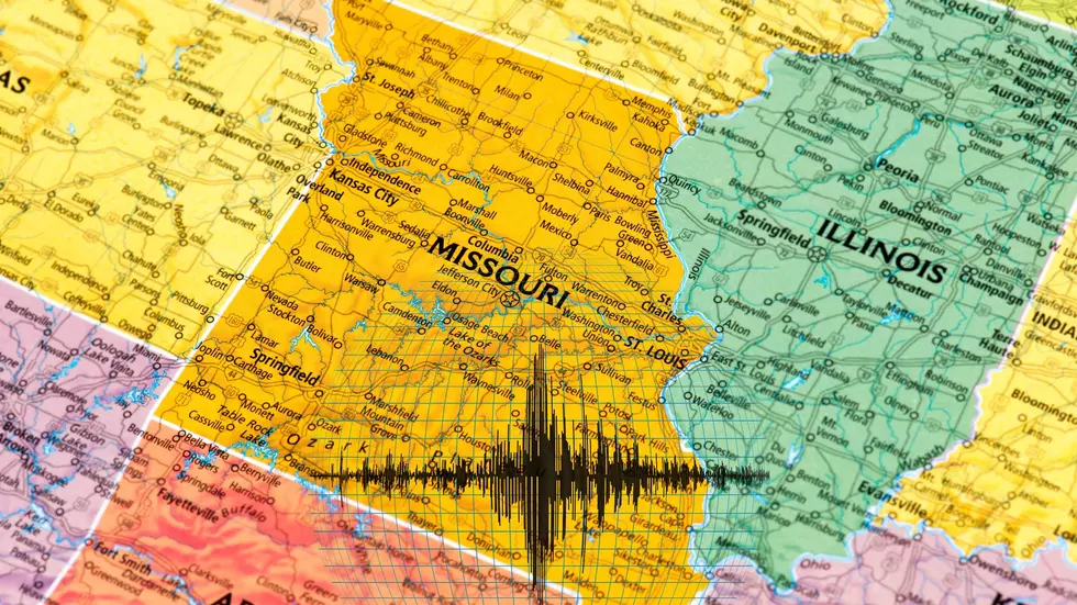
It's not a classified secret that Illinois would have several locations that would be prime targets for an enemy if the worst-case scenario nuclear exchange everyone fears ever becomes reality. However, there's a FEMA map that shows an alarming number of Illinois targets including many in the middle of nowhere.
This brings up so many questions. Many maps have been shared over the years showing what the federal government believes would be the most likely targets if a worst-case scenario nuclear exchange were to occur. Why does that latest FEMA map now show many unexpected Missouri targets all of a sudden?
We know that life can be dangerous. I will admit that I didn't know that Wisconsin was in so much jeopardy though until I saw 12 somewhat terrifying risk assessment maps from FEMA about potential natural disasters.
Say what you want about FEMA, but they are good at planning. The result of all that planning is a set of new risk maps for Missouri and Illinois that are more than a little bit terrifying.
The good news is this is just a hypothetical scenario that will hopefully never happen. The bad news is if a first-strike nuclear attack on America ever happens, a new FEMA map shows dozens of places in Wisconsin would be in trouble during the beginning of a horrific conflict.
We know that Missouri would be a likely early target if a worst-case scenario first strike nuclear attack ever happened, but there's a new area that I've never heard mentioned before that has emerged and it could be devastating.
Do you have a reason to be worried about October 4, 2023? Many in Missouri and other states believe you do and are planning on turning their cell phones off on October 4th. I'll explain the theories why and how they might not be as crazy as you might think.
The conspiracy theory crowd is gonna love this. It's true that the government will be 'temporarily' taking over cell phones in Missouri one day in October. Should you be concerned? That depends on your worldview.