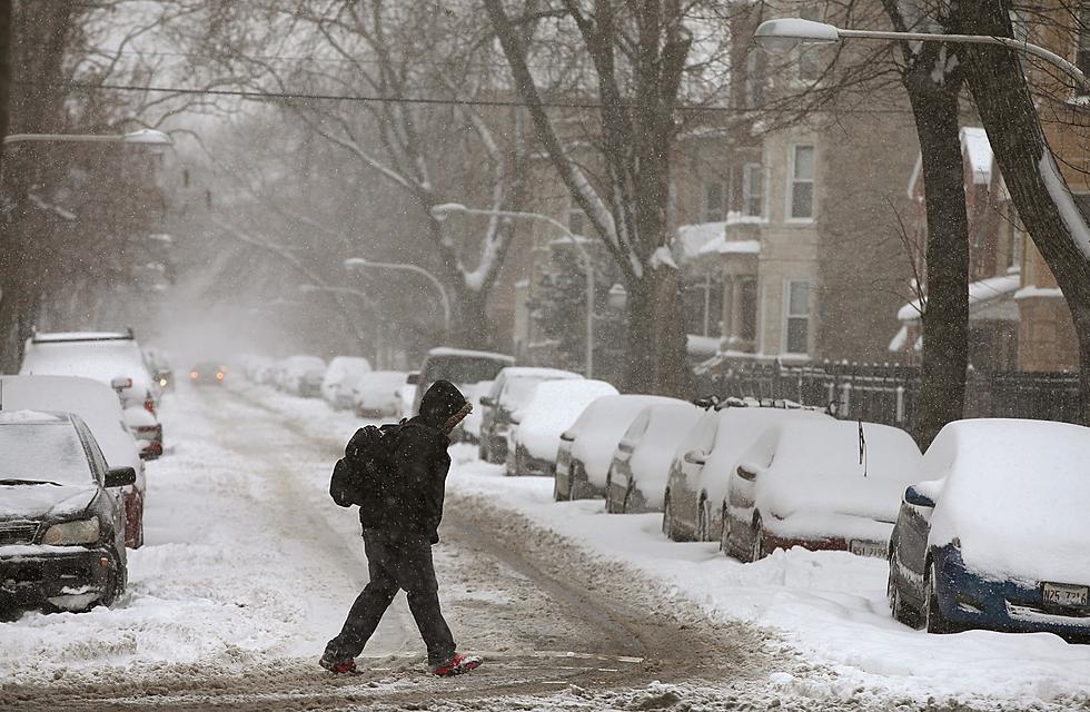
Snow Showers Monday, Then Cold Week Ahead
It will look and feel more like winter this week in northeast Missouri and western Illinois.
National Weather Service forecasters say snow showers are a possibility Monday through Tuesday, with the best chance Monday morning. Significant accumulations are not expected. Snow chances diminish Monday night and Tuesday, with the snow expected to be out of the area by 7 a.m. Tuesday.
Blustery conditions are also on tap Monday through Wednesday, with northwest winds gusting up to 36 miles per hour.
After a high of 29 Monday, we move into the deep freeze, with high of 22 expected Tuesday and Wednesday, and highs struggling to get to freezing through Sunday.
Lows will bottom out at plus-seven Tuesday night, then settle into the low to mid teens the rest of the week.
A slight chance of rain and snow is in the forecast for Valentine's Day.
More From KHMO-AM 1070, News-Talk-Sports